Researchers from South Ural State University are developing super-modern GIS. New technologies allow them to improve the infrastructure and optimize the work of agricultural, manufacturing, and other sectors of the economy.
What is GIS?
The ease of using geoinformation systems has long been valued by every user of navigators and smartphones. Digital maps help the user find the street they need, the route to their favorite café, figure out their location, and keep tabs on street traffic. In addition, users of this system can add or edit information about locations. Laymen are familiar with GIS systems such as Google Maps, Yandex-maps, 2GIS, and more.
However, this instrument has much more use than users may imagine. The systems store statistical and geographical data about events and objects. They allow us to monitor and simulate objects using data received and analyze and search received and stored information.
GIS is widely used in many areas from geology and cartography to defense and engineering. These systems are used to solve global issues such as the prevention and forecasting of natural disasters, problems with the ocean, and global warming.
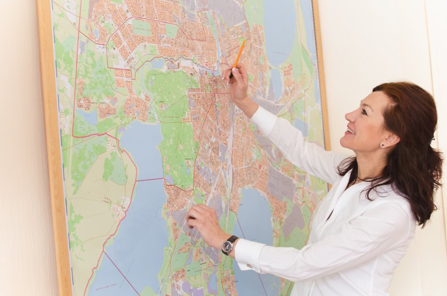
The Chelyabinsk region geoportal
No less actual is the use of GIS for solving finer issues of regions or businesses. One such completed project by South Ural State University researchers is the Chelyabinsk oblast geoportal – a product built by government order from scratch. The portal allows users to note disposal sites and potholes, take a picture, and write a complaint. The municipalities, using this information, react to the issue and note the status of its solution.
South Ural State University researchers are developing GIS using new technologies which integrate a few platforms. This allows them to combine GIS with inventory systems, state registries, construction and road issues, and more, which allows the systems to be adapted to the client’s specific need.
“Right now, technology allows for GIS to be combined with different informational systems. When doing this, our specialist develop a program, write out part of the code and a program module, and afterward bring the platforms together,” says director of NEC Geoinformation Systems Valentina Maksimova, “In 2015 a module was implemented for the Ministry of Agriculture which allows for the monitoring of agricultural lands. That is, keep tabs on how much land is being used, how much is neglected, what is growing on them, and more. This is an example of how the base GIS can be expanded and used for a more narrow issue. To update these systems for specific tasks, our specialists are completing internships in American and European universities to implement the newest technologies in our region in the future.”
Besides the wide use of new GIS technologies to solve regional issues, SUSU researchers were able to make the system less expensive than its analogues abroad. International companies work on the licensing of GIS developer companies and to purchase this system you must pay a fairly expensive licensing fee. When working with GIS from Russia, an open license is used without payment. The client will only have to pay for the development of the necessary system part or module.
One big problem for researchers is the lack of input data in electronic form, as many of them are still stored in paper form. Specialists must digitize large amounts of data by hand, at the same time adding to the State Fund of Informational Data Received by Remote Sensing of the Earth – high-detailed satellite imagery.
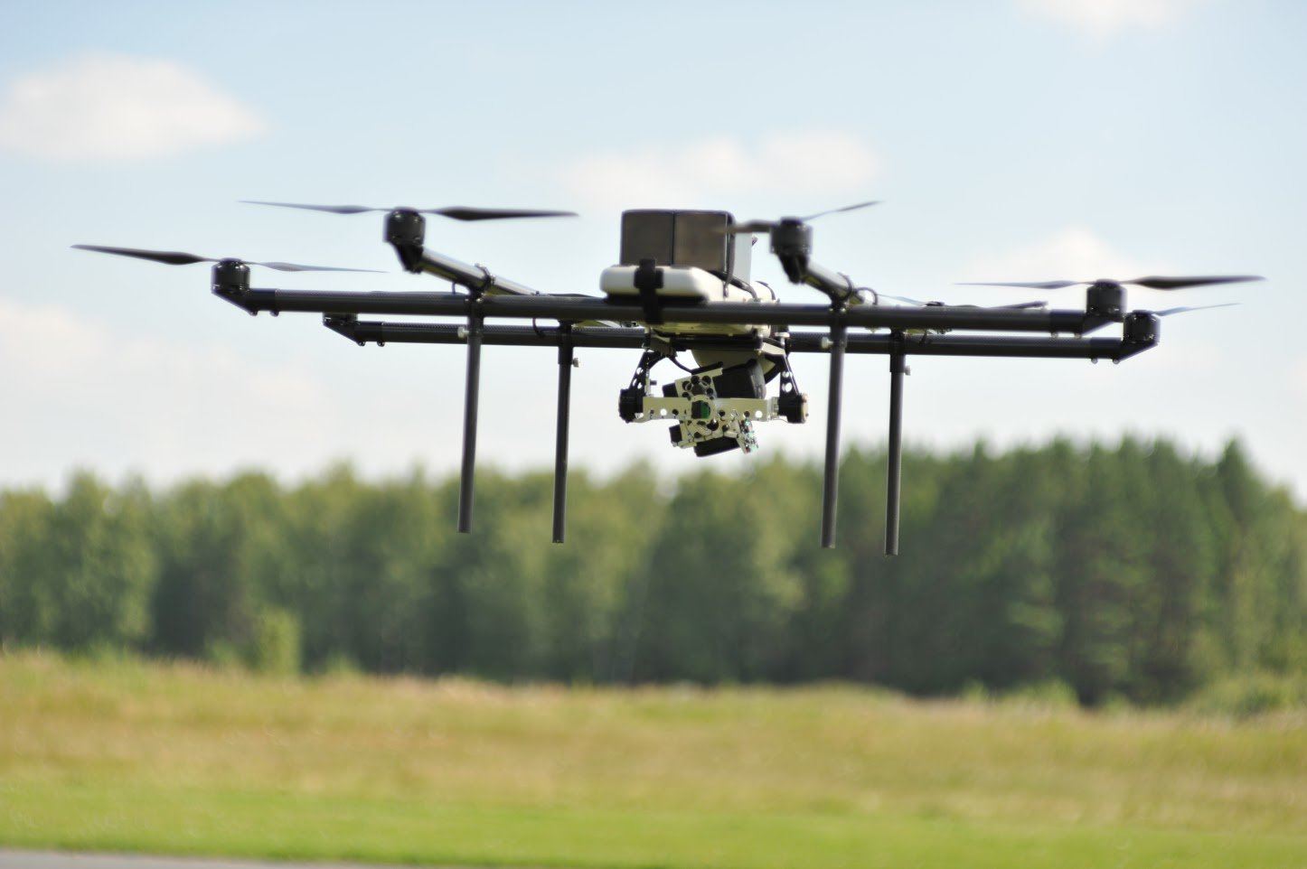
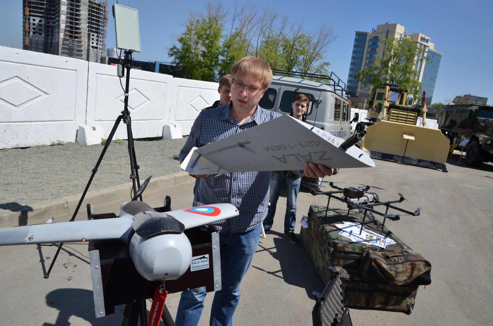
The GIS being developed at SUSU allow for the solution of a range of problems tied to forestry and agriculture. GIS can also be used to verify inventory. Geoinformation systems solve manufacturing issues, for example, find the best locations for a factory or re-plan it. Using air survey plans (large images received from satellites or drones) it is possible to monitory the state of roads: potholes and snow; and specialists of the university calculate the quarry output using GIS. SUSU researchers are now developing GIS for businesses, for example, floor plans for buildings with various information about the site, which will help engineers and maintenance services create a work plan remotely.
According to the researchers, there is a change to significantly improve city infrastructure. The systems will help planners of new microregions better design roads and keep track of their condition. Satellite systems already enable viewing various events online which will help emergency services to more quickly solve many emergency situations. At this time, GIS are helping with the formation of the “Internet of Things” which means that it will be possible to view any location or object, big or small, on digital maps. According to researchers, GIS will be used more widely each year, which means that many current issues will be able to be solved much faster, it will be possible to keep track of their execution in real time, and it will be possible to predict and simulate any situation.
.jpg)